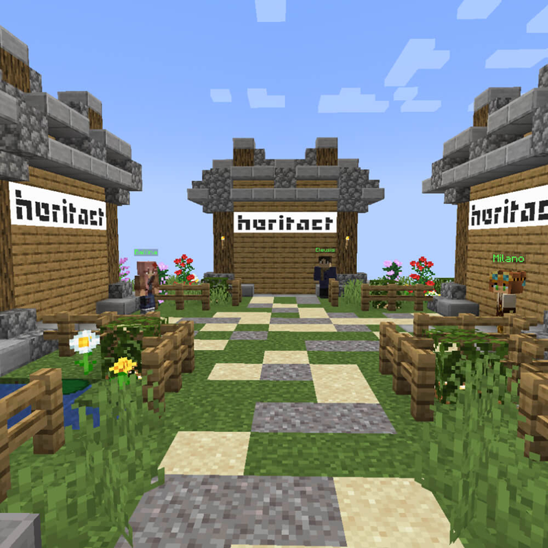
Managing Urban Spaces Together digital system
An interactive digital system enabling inclusive co‑creation in urban regeneration
Credit: LIST

Credit: LIST
Resource
Context
REGEN uses MUST to transform citizen participation into a core driver of neighbourhood regeneration.
The EU-funded REGEN project aims to decarbonise European neighbourhoods by employing a multifaceted toolbox. The project’s approach involves citizen engagement and behavioural change, alongside innovative methodologies like digital twins and life cycle assessments. Focusing on 50 types of regeneration interventions, from energy retrofits to green public spaces, it pioneers an assessment framework for urban regeneration. Demonstrations across four sites ensure scalability and robust policy insights.
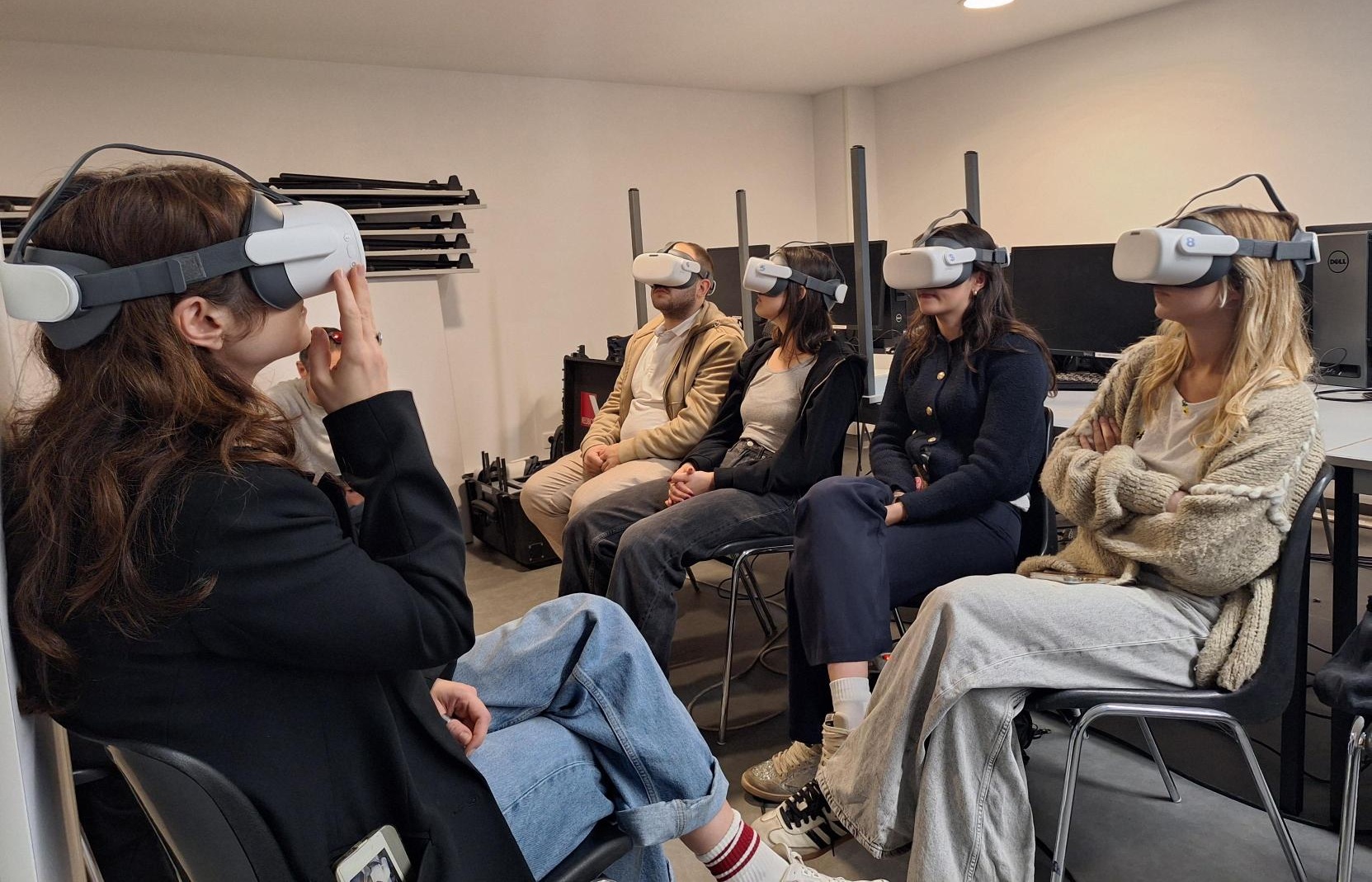
While architects and planners rely on cutting-edge tools, digital twins, life cycle assessments, and optimization algorithms, these solutions often miss a critical ingredient: the people who actually live in the spaces they design. REGEN provides a toolbox for transformation, blending hard data with human-centric design. Instead of treating citizens as passive beneficiaries, REGEN puts them at the centre, thanks to innovations such as MUST, to co-create solutions.
The resource in a nutshell
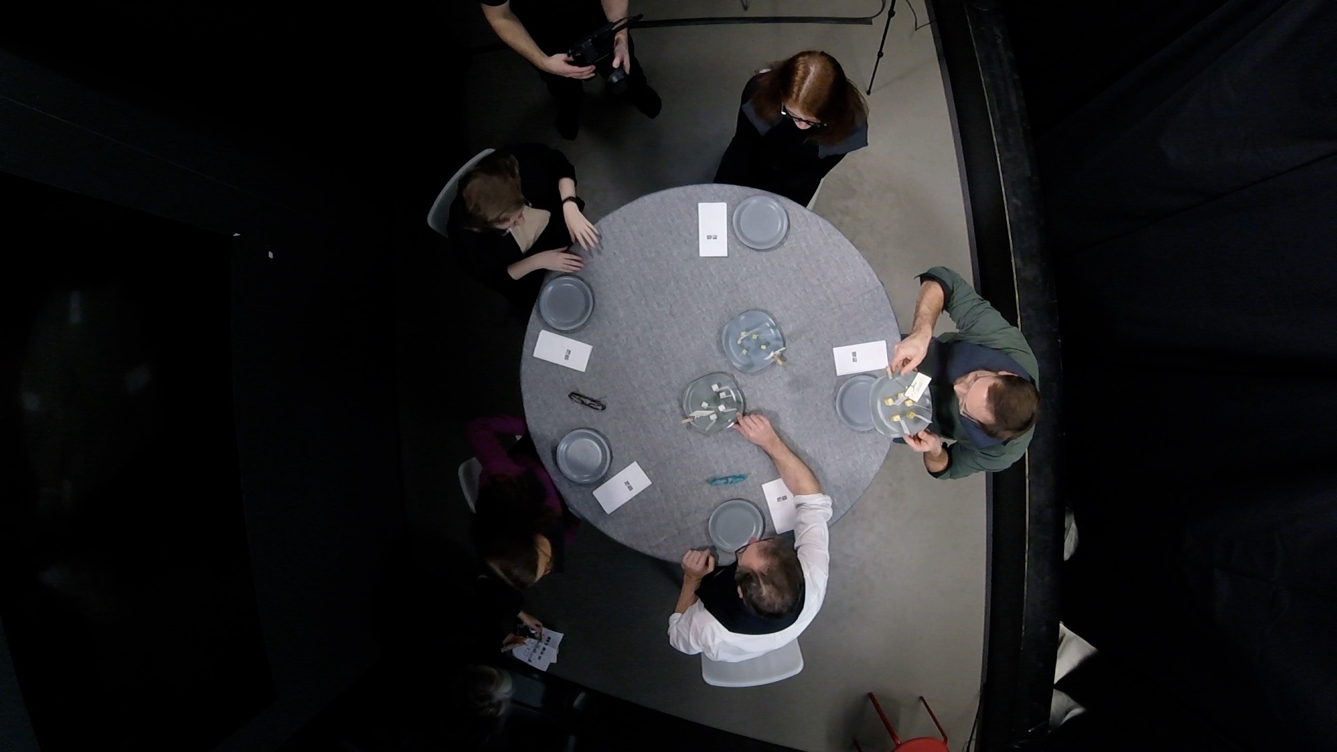
An interactive, user-centred system combining a tangible table interface and a web-based platform.
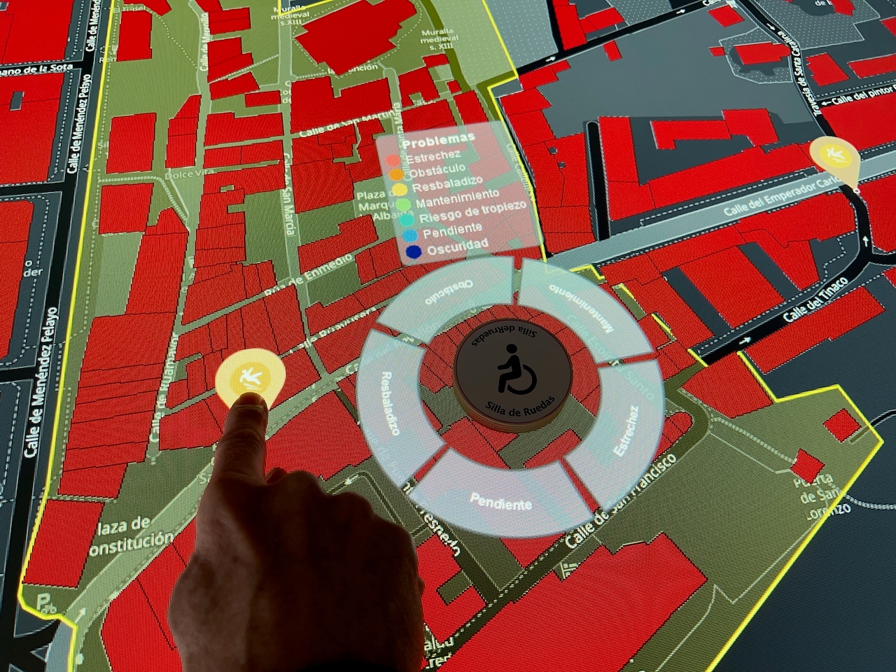
MUST (Managing Urban Spaces Together) is a participatory digital system combining software and hardware components to support collaborative urban planning processes.
At its core, MUST features a collaborative touch and tangible table used during co-located workshops. Participants, including citizens, planners, and local stakeholders - can interact with spatial data, manipulate urban elements, and co-design regeneration scenarios in a hands-on and intuitive way. The integration of geospatial (GIS) functionalities allows users to visualise site characteristics, explore constraints, and better understand the spatial impacts of proposed interventions.
What it can be used for:
- Co-designing urban regeneration scenarios during participatory workshops
- Collecting and structuring citizen input
- Exploring spatial data and site constraints
- Supporting decision-making with visual and interactive tools
Concrete example:
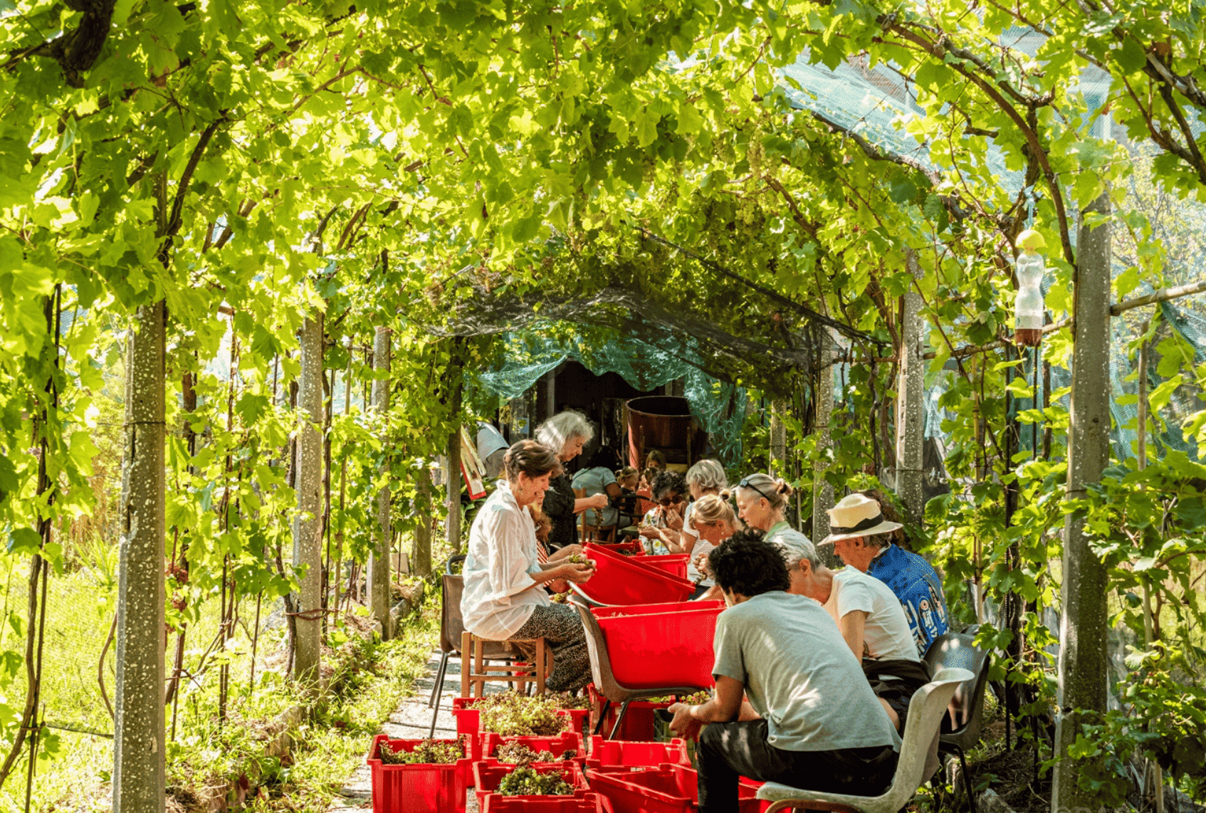
In REGEN demonstration sites (Laredo in Spain, Beckerich in Luxembourg, Milan in Italy and Dublin in Ireland), MUST is used within so-called Neighbourhood Regeneration Offices to engage citizens in defining urban priorities (e.g. green spaces, mobility, building retrofits) and evaluating different intervention scenarios.
Transferability:
MUST can be adapted to other cities and planning contexts, particularly where participatory approaches and stakeholder engagement are key. Its modular design allows integration with local data sources and planning processes.
How to use it in other contexts:
Cities, planners, or organisations can use MUST to facilitate workshops, improve stakeholder dialogue, and integrate citizen perspectives into urban strategies. It is particularly relevant for municipalities aiming to enhance participatory governance and evidence-based planning.
The REGEN project was funded by the Horizon Europe programme under grant 101123325.